
Miejsca do latania
Gdzie można latać bezzałogowym statkiem powietrznym w Holandii
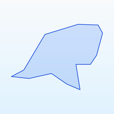
Najważniejsze
Maks. wysokość
120 m
Odległość od miast
≥ 150 m
Tryb lotu
VLOS
Przed lotem
Mapa stref geo
Ogólne zasady w Holandii
Before choosing a location, always check the UAS geo-zone map. EU Open category rules apply across Holandii:
- Maximum altitude: 120 m AGL (Open category A3).
- Distance from urban areas: no closer than 150 m (A3 subcategory).
- VLOS: the aircraft must remain in sight at all times.
- Prohibited: over crowds, large events, military sites, critical infrastructure, aerodrome controlled airspace without permission.
- Private land: owner consent required to fly over and land on the property.
Below are recommended locations by region. Before every flight verify the zone is not in prohibited or restricted airspace.
Amsterdam and west Netherlands
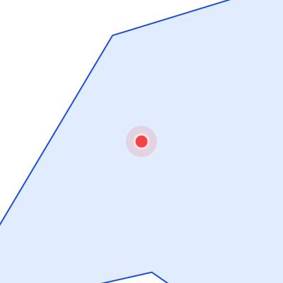
Amsterdam Schiphol (AMS) — controlled or restricted airspace nearby.
Recommended spots (verify geo-zones):
- Flevoland open polder fields
- North Holland rural areas away from Schiphol CTR
- Utrecht countryside meadows
Always verify the official geo-zone map before flying in this region.
Rotterdam and south Netherlands
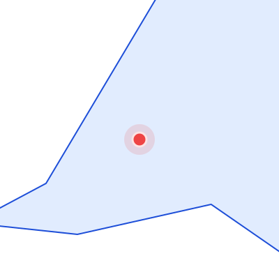
Rotterdam The Hague Airport (RTM) — controlled or restricted airspace nearby.
Recommended spots (verify geo-zones):
- Zeeland open farmland
- Brabant rural fields
- Limburg countryside away from urban zones
Always verify the official geo-zone map before flying in this region.
Eindhoven and east Netherlands
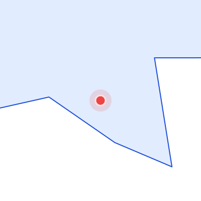
Eindhoven Airport (EIN) — controlled or restricted airspace nearby.
Recommended spots (verify geo-zones):
- Achterhoek open landscapes
- Overijssel lake districts
- Drenthe heathland margins
Always verify the official geo-zone map before flying in this region.
Groningen and north Netherlands
Groningen Airport (GRQ) — controlled or restricted airspace nearby.
Recommended spots (verify geo-zones):
- Wadden Sea coast outskirts after nature rules check
- Friesian open fields
- Drenthe rural areas
Always verify the official geo-zone map before flying in this region.
Locations where flying is prohibited or restricted
Przewodnik kolorów stref geo
Zakaz
Lot BSP bez specjalnego zezwolenia zabroniony
Ograniczony
Wymagane zezwolenie lub sprawdzenie NOTAM
Wrażliwa
Rezerwaty, granice, infrastruktura
Otwarta (z zasadami)
Kategoria Open A3 przy zachowaniu odległości i wysokości
Across Holandii UAS flights are prohibited or restricted in:
- Aerodrome controlled and restricted airspace (AMS, RTM, EIN, GRQ, MST)
- Military sites and security zones
- State border strips and sensitive zones
- Critical infrastructure: power plants, bridges, railways, high-voltage lines
- Over crowds, large events, and sports competitions
- National parks — without director permission (Hoge Veluwe, Wadden Sea, De Biesbosch)
- Central urban areas of Amsterdam, Rotterdam, Utrecht, Eindhoven (A3 distance requirement)
Always use the official UAS geo-zone map before every flight.