Lokacije za letenje
Where you can fly unmanned aircraft in Grčkoj
Key facts
Max altitude
120 m
Urban distance
≥ 150 m
Flight mode
VLOS
Before flying
Geo-zone map
General rules across Grčkoj
Before choosing a location, always check the UAS geo-zone map. EU Open category rules apply across Grčkoj:
- Maximum altitude: 120 m AGL (Open category A3).
- Distance from urban areas: no closer than 150 m (A3 subcategory).
- VLOS: the aircraft must remain in sight at all times.
- Prohibited: over crowds, large events, military sites, critical infrastructure, aerodrome controlled airspace without permission.
- Private land: owner consent required to fly over and land on the property.
Below are recommended locations by region. Before every flight verify the zone is not in prohibited or restricted airspace.
Athens region
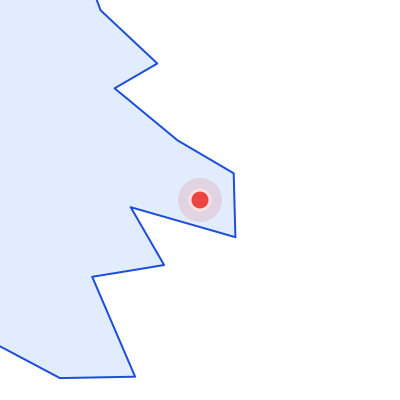
Athens Airport (ATH) — controlled or restricted airspace nearby.
Recommended spots (verify geo-zones):
- Open countryside within 150 m of urban areas around Athens
- Rural fields near regional lakes
- Forest margins outside protected cores
Check geo-zones around Athens and nearby aerodromes before every flight.
Northern Greece
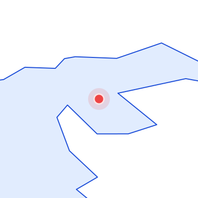
Recommended spots (verify geo-zones):
- Open farmland away from settlements
- Lake districts after nature zone verification
- Rural meadows suitable for VLOS flights
Always verify the official geo-zone map before flying in this region.
Southern Greece
Recommended spots (verify geo-zones):
- Coastal or inland open fields
- Agricultural areas beyond urban zones
- Countryside near secondary cities
Always verify the official geo-zone map before flying in this region.
Eastern Greece
Recommended spots (verify geo-zones):
- Regional open landscapes
- Rural valleys away from airports
- Fields near nature parks after permission check
Always verify the official geo-zone map before flying in this region.
Locations where flying is prohibited or restricted
Geo-zone colour guide
Prohibited
No UAS flight without special authorisation
Restricted
Permission or NOTAM check required
Sensitive
Nature reserves, borders, infrastructure
Open (check rules)
Open category A3 if distance & altitude rules met
Across Grčkoj UAS flights are prohibited or restricted in:
- Aerodrome controlled and restricted airspace (ATH, SKG, HER)
- Military sites and security zones
- State border strips and sensitive zones
- Critical infrastructure: power plants, bridges, railways, high-voltage lines
- Over crowds, large events, and sports competitions
- National parks — without director permission (Olympus, Samaria, Vikos-Aoos)
- Central urban areas of Athens, Thessaloniki, Heraklion (A3 distance requirement)
Always use the official UAS geo-zone map before every flight.