
Luoghi di volo
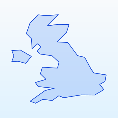
Zone UAS vietate e ristrette in Regno Unito
Dati chiave
Altitudine max
120 m
Distanza urbana
≥ 150 m
Modalità di volo
VLOS
Prima del volo
Mappa geo-zone
Aerodrome zones
Zone di impatto aerodromi principali
London Heathrow
Major hub FRZ
London Gatwick
Capital region
Manchester
Northern hub
Birmingham
Midlands CTR
Edinburgh
Scotland hub
Main aerodromes and their impact zones. Around each aerodrome the geo-zone map marks FRZ and CTR areas. Flying there without permission is prohibited.
- London Heathrow (LHR) — Major hub FRZ
- London Gatwick (LGW) — Capital region
- Manchester (MAN) — Northern hub
- Birmingham (BHX) — Midlands CTR
- Edinburgh (EDI) — Scotland hub
Military and security zones
In Regno Unito UAS flights are prohibited or strictly restricted in:
- Military training areas and bases
- Border protection strips
- Seaports and strategic facilities
- Protected government sites
These zones are marked on the geo-zone map as prohibited (red) or restricted (amber).
Nature protection and reserve zones
Flights in nature areas may be restricted to protect wildlife:
- National parks (Lake District, Peak District, Snowdonia) — permission may be required
- Strict nature reserves — flights often prohibited
- Ramsar wetlands and bird protection areas
- Nesting and migration sites during sensitive seasons
Contact park administration or check official rules before flying over nature sites.
How to check zones before flying
Guida colori geo-zone
Vietato
Volo UAS vietato senza autorizzazione speciale
Limitato
Permesso o controllo NOTAM richiesto
Sensibile
Riserve naturali, confini, infrastrutture
Aperto (con regole)
Categoria Open A3 rispettando distanza e altitudine
Recommended verification sequence:
- 1Open the official Regno Unito / EU UAS geo-zone map
- 2Enter flight coordinates or mark the area on the map
- 3Review colour coding: red = prohibited, amber = restricted, blue = sensitive
- 4Check NOTAM notices for temporary restrictions
- 5If a zone is restricted — contact the competent authority for permission
- 6Record the check date and result in your flight log
SkrisT recommends using only official sources — geo-zone data may change.