
Lieux de vol
Zones UAS interdites et restreintes en Finlande
Points clés
Altitude max.
120 m
Distance des villes
≥ 150 m
Mode de vol
VLOS
Avant le vol
Carte geo-zones
Aerodrome zones
Zones d’impact des aérodromes majeurs
Helsinki
Capital FRZ
Tampere
Central Finland
Oulu
Northern region
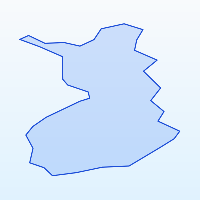
Main aerodromes and their impact zones. Around each aerodrome the geo-zone map marks FRZ and CTR areas. Flying there without permission is prohibited.
- Helsinki (HEL) — Capital FRZ
- Tampere (TMP) — Central Finland
- Oulu (OUL) — Northern region
Military and security zones
In Finlande UAS flights are prohibited or strictly restricted in:
- Military training areas and bases
- Border protection strips
- Seaports and strategic facilities
- Protected government sites
These zones are marked on the geo-zone map as prohibited (red) or restricted (amber).
Nature protection and reserve zones
Flights in nature areas may be restricted to protect wildlife:
- National parks (Oulanka, Archipelago Sea, Lemmenjoki) — permission may be required
- Strict nature reserves — flights often prohibited
- Ramsar wetlands and bird protection areas
- Nesting and migration sites during sensitive seasons
Contact park administration or check official rules before flying over nature sites.
How to check zones before flying
Guide des couleurs geo-zones
Interdit
Vol UAS interdit sans autorisation spéciale
Restreint
Autorisation ou vérification NOTAM requise
Sensible
Réserves naturelles, frontières, infrastructure
Ouvert (règles à respecter)
Catégorie Open A3 si distance et altitude respectées
Recommended verification sequence:
- 1Open the official Finlande / EU UAS geo-zone map
- 2Enter flight coordinates or mark the area on the map
- 3Review colour coding: red = prohibited, amber = restricted, blue = sensitive
- 4Check NOTAM notices for temporary restrictions
- 5If a zone is restricted — contact the competent authority for permission
- 6Record the check date and result in your flight log
SkrisT recommends using only official sources — geo-zone data may change.