
Lugares de vuelo
Dónde volar con un vehículo aéreo no tripulado en Polonia
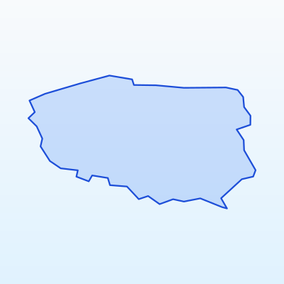
Datos clave
Altitud máx.
120 m
Distancia urbana
≥ 150 m
Modo de vuelo
VLOS
Antes de volar
Mapa de geo-zonas
Normas generales en Polonia
Before choosing a location, always check the UAS geo-zone map. EU Open category rules apply across Polonia:
- Maximum altitude: 120 m AGL (Open category A3).
- Distance from urban areas: no closer than 150 m (A3 subcategory).
- VLOS: the aircraft must remain in sight at all times.
- Prohibited: over crowds, large events, military sites, critical infrastructure, aerodrome controlled airspace without permission.
- Private land: owner consent required to fly over and land on the property.
Below are recommended locations by region. Before every flight verify the zone is not in prohibited or restricted airspace.
Warsaw and Mazovia
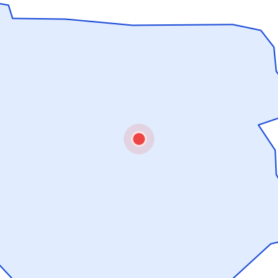
Warsaw Chopin Airport (WAW) — controlled or restricted airspace nearby.
Recommended spots (verify geo-zones):
- Open fields east of Warsaw beyond urban zones
- Kampinos forest margins after park rules check
- Rural Mazovia meadows near lakes
Always verify the official geo-zone map before flying in this region.
Kraków and Lesser Poland
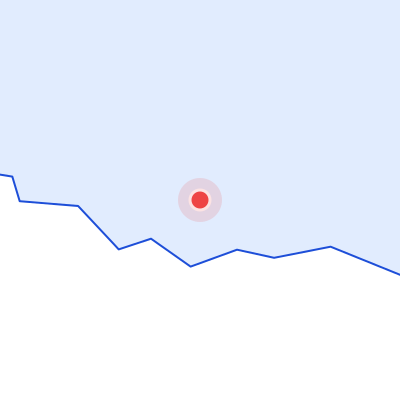
Kraków Airport (KRK) — controlled or restricted airspace nearby.
Recommended spots (verify geo-zones):
- Open areas in Kraków-Częstochowa upland
- Nowy Sącz rural surroundings
- Tatra foothills only outside national park restrictions
Always verify the official geo-zone map before flying in this region.
Gdańsk and northern Poland
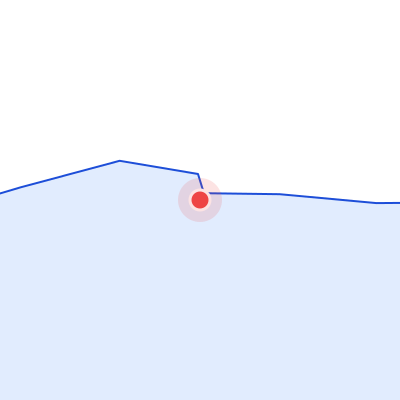
Gdańsk Lech Wałęsa Airport (GDN) — controlled or restricted airspace nearby.
Recommended spots (verify geo-zones):
- Kashubian lake districts
- Open Pomeranian farmland
- Vistula Spit areas after border zone verification
Always verify the official geo-zone map before flying in this region.
Wrocław and Lower Silesia
Wrocław Airport (WRO) — controlled or restricted airspace nearby.
Recommended spots (verify geo-zones):
- Sudeten foothill clearings
- Open Odra valley fields
- Rural areas between Legnica and Wałbrzych
Always verify the official geo-zone map before flying in this region.
Locations where flying is prohibited or restricted
Guía de colores geo-zonas
Prohibido
Vuelo UAS prohibido sin autorización especial
Restringido
Se requiere permiso o revisión NOTAM
Sensible
Reservas naturales, fronteras, infraestructura
Abierto (con reglas)
Categoría Open A3 cumpliendo distancia y altitud
Across Polonia UAS flights are prohibited or restricted in:
- Aerodrome controlled and restricted airspace (WAW, KRK, GDN, WRO, KTW)
- Military sites and security zones
- State border strips and sensitive zones
- Critical infrastructure: power plants, bridges, railways, high-voltage lines
- Over crowds, large events, and sports competitions
- National parks — without director permission (Białowieża, Tatra, Bieszczady)
- Central urban areas of Warsaw, Kraków, Gdańsk, Wrocław (A3 distance requirement)
Always use the official UAS geo-zone map before every flight.